Hvar islands
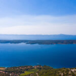
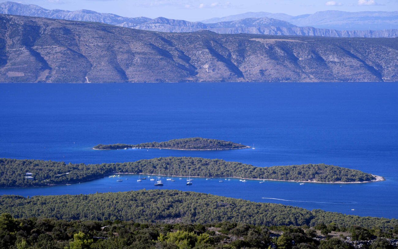
The two islets which belong to Jelsa Council, Šćedro and Zečevo, were both registered as protected nature reserve areas of special interest in 1968, and today they are part of the environmental protection network NATURA 2000, which includes the Pakleni Islands off Hvar Town.
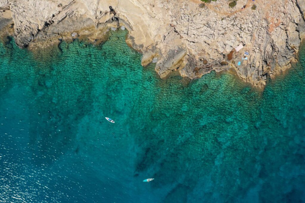
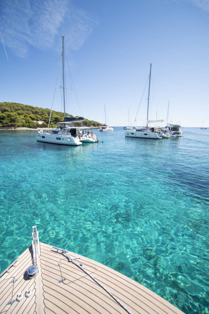
Neither has any infrastructure such as electricity and water, which in fact adds to their charm. Building on the islets is not allowed under the terms of the protection, and we believe this will preserve the islets for the future. To date there has not been any development on Zečevo, but on Šćedro where owners have accommodation in the old stone houses, the restaurants have installed solar power, electricity generators and water cisterns. Yachtsmen love Šćedro, as it is only accessible by boat. In summer many boats moor in the secure bays on the north side of the island, so that the owners can enjoy the peace and silence, the clean sea, and the fresh fish on offer in the restaurants.
ŠĆEDRO – “the merciful” for sailors and yachtsmen
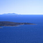
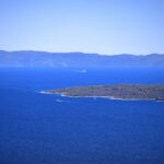
Šćedro is a small island in the Korčula Channel close to the south coast of Hvar Island. It is about 2.7 km from the village of Zavala, measuring 6.5 km in length, width 1.5 km, with a total land mass of 8.36 km. It is 113 m above sea level at its highest point. About 3 km west of Šćedro are the three tiny Lukavci islets, which are sometimes above, sometimes under water.
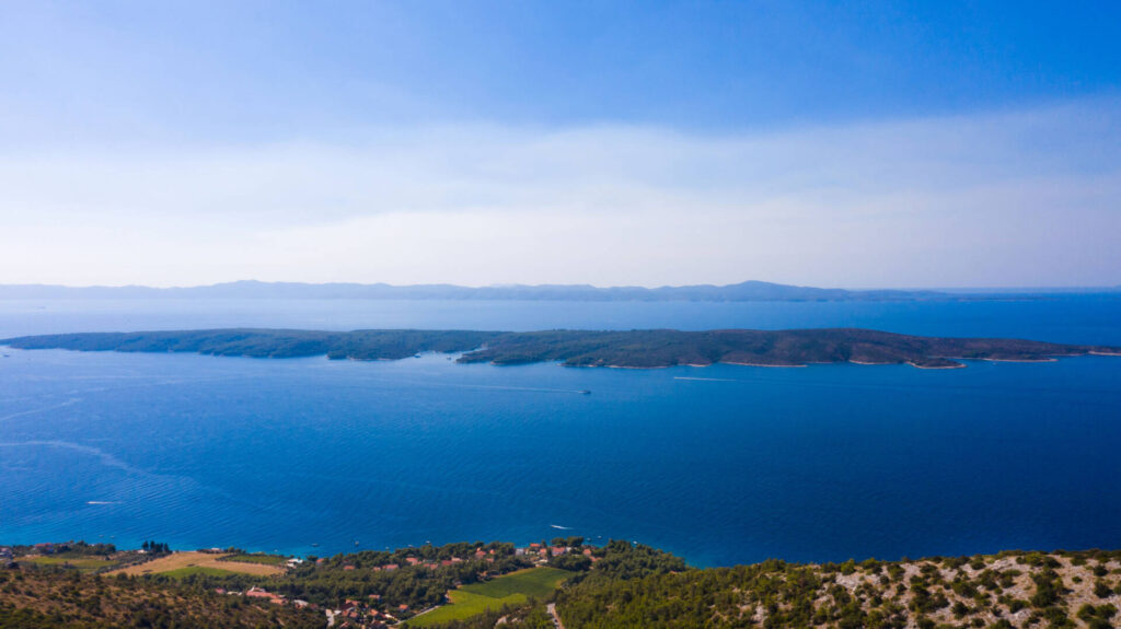
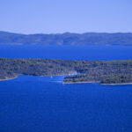
The beauty of Šćedro lies in its indented coastline and abundant plant cover with the typical Mediterranean combinations of woodland and undergrowth. There are two villages on the islet, Mostir and Nastane, which were once inhabited, but are now only sparsely occupied, mainly in the summer. On land and in the surrounding sea are several historical archaeological sites.
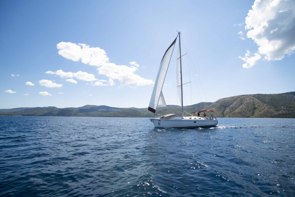
In north Slavonic languages Šćedro means ‘merciful’, and ‘compassionate’, and is so named because today, as in former times, sailors find refuge from storms in the two harbours, Veli porat (Lovišće) and Mostir, on the north side of the islet. In the Mostir Bay there is a fresh water source called Studenac.
The Latin name for Šćedro was Tauris, which gave rise to the Italian names Tauricola or Torcola. In historical documents the islet is called Torkola. In about 47 BCE a decisive sea battle for the Roman Empire was fought just off Šćedro, and remnants of the sunken boats are visible in the Mrtinovnik Bay. Following this battle, there were no more wars fought in the Adriatic for several centuries.
According to the 1331 Hvar Statute, Ščedro was a property for the common good, providing pastureland for Hvar Island. Because of the water produced by night-time dew, cereals could be cultivated, and up to some 60 tons of corn were produced. there were also vineyards and olive groves, remnants of which can be seen on the overgrown stone mounds among the undergrowth.
Apart from the looted shells of the wrecks in the sea, on land in the Mostir Bay there are remnants of a Roman villa, and the almost ruined Dominican Monastery with its church to our Lady of Mercy, which was built at the end of the 15th century and abandoned in the 18th century.
Throughout the Middle Ages, up until steam boats became the norm, Šćedro was extremelyimportant to the mariners of Venice, Dubrovnik and others. There was a stoneworks on Šćedro called ‘Stare stine’ (‘Old Stones’), which supplied the materials for the Baroque chapels in Hvar Cathedral.
Šćedro’s exquisite little bays with their crystal clear waters afford unforgettable diving opportunities. On a day trip, you can have a fine lunch at one of the island’s four restaurants. Catch a boat from Zavala to enjoy a fantastic day on this little jewel of an island! During the summer season there are regular taxi-boat services between Šćedro and Zavala. You can find more details about present-day Šćedro here.
ZEČEVO – five endemic plants
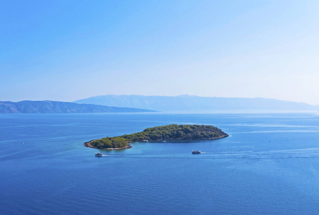
Zečevo, a little island situated in the Hvar Channel 2 km north-east of the village of Vrboska, has always been a delight for naturists, one of the first of its kind on our coast. In days gone by, small boats used to go back and forth all day long taking guests there.
Up to now the islet has been protected from any damaging human influence on its vegetation. Its coastline stretching around 1.5 km and its land mass of roughly 1 sq km are densely covered the characteristic Mediterranean vegetation, mainly maquis and Aleppo pines. On the north side of the islet the plants have been flattened where they are exposed to the fierce ‘bura’ northerly wind, whereas on the south side the bays are shielded from it.
Even where the plants have been laid low and battered by the bura, there is a rich biodiversity on Zečevo, which boasts 217 types of plant, of which five are endemic. In the ‘Red Book of Vascular Flora of Croatia’, a listing of Croatia’s endangered plants, several of Zečevo’s plants are in the category of ‘at risk’, meaning that they could die out out completely within the not-too-distant future, while some are endangered, and could disappear in the near future.
The flora of Zečevo include orchids such as the Ophrys Liburnica Devillers and Devillers-Tersch, also Scaligeria cretica (mill.) Boiss, and Narcissus serotinus L. There used to be a large rabbit population (Lepus europaeus, zečevo in Croatian) and they gave the islet its name.
Not only is the land area protected, but also underwater areas of sea caves, reefs, Posidonia beds (Posidonion oceanicae), and the sandy seabed. The protected landscape of special interest includes natural and cultivated areas of special environmental value, biodiversity and/or geodiversity, or particular areas where features specific to those places have been preserved, Activities or enterprises of any kind are only permitted in the areas of special interest if they do not jeopardize the protected features.
PAKLENI ISLANDS
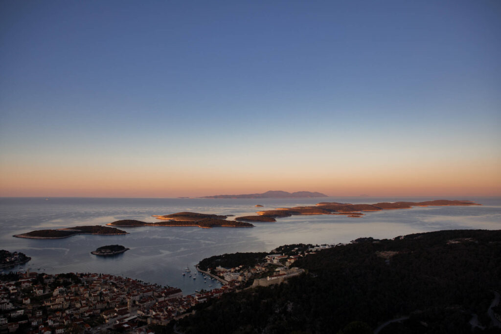
The Pakleni Islands are a group of islands opposite the town of Hvar. They are islands: Jerolim, Marinkovac, Paržanj, Planikovac, Pokonji dol, Stambedar, Sveti Klement, Travna, Vlaka, Vodnjak Mali i Vodnjak Veli i Gališnik , Dobri, Gojca i Borovac. The Pakleni Islands got their name from paklina, a type of pine resin, which was used in shipbuilding to coat ships.
The Pakleni Islands have been protected since 1968 in the category of significant landscape. The largest island in this group of islands is Sveti Klement, where prehistoric graves can be found. The foundation and walls of the Roman villa rustica, which is the most representative building from the late Hellenistic and Roman periods, can be found on the site of the Soline bay on the southern coast of the island.
The sea of the Pakleni Islands abounds with underwater finds from antiquity. On the seabed are the remains of shipwrecks, which are protected under the label of cultural property, and date from the period of the 1st-2nd century.
Beaches on the Pakleni islands:
The island of Sveti Klement, the largest of the Hell’s Islands, is a favorite among sailors. The beaches on Sveti Klement are: Palmižana (Vinogradišće), Vlaka bay, Perna bay.
The island of Jerolim is a small island that is also known as a nudist destination.
The island of Marinkovac is a rocky islet where Stipanska bay is located.
The coves on the Pakleni Islands can be reached by taxi boats from the town of Hvar.


