A Nordic Walk with GIS technology
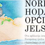
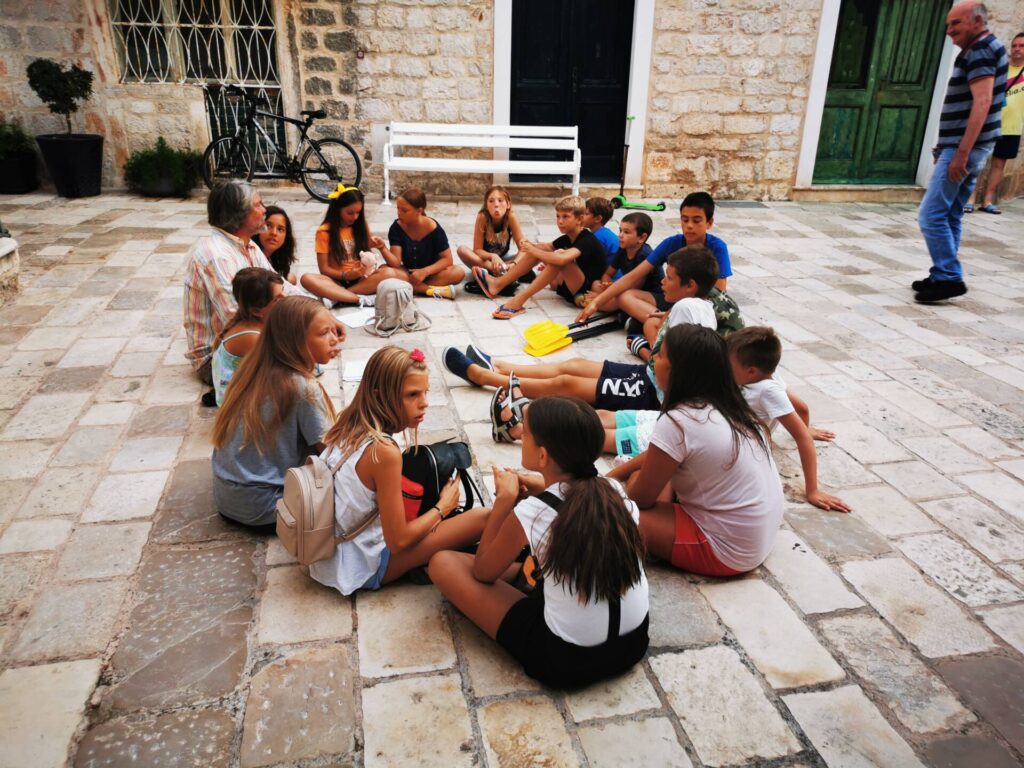
Borna Tudor, Leo Marušić i Toma Prošper Novak are versatile pupils from Hvar’s Secondary School, who, under the guidance of their geography and geo-technology teacher, Antonio Morić-Španić, have created an application as a guide for a Nordic Walk in our region. The project to make the application was done within the framework of the ‘European Week for Sustainable Development’ at the end of September 2021, which Jelsa marked with its Go Green in Jelsa Festival.
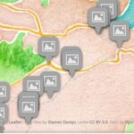
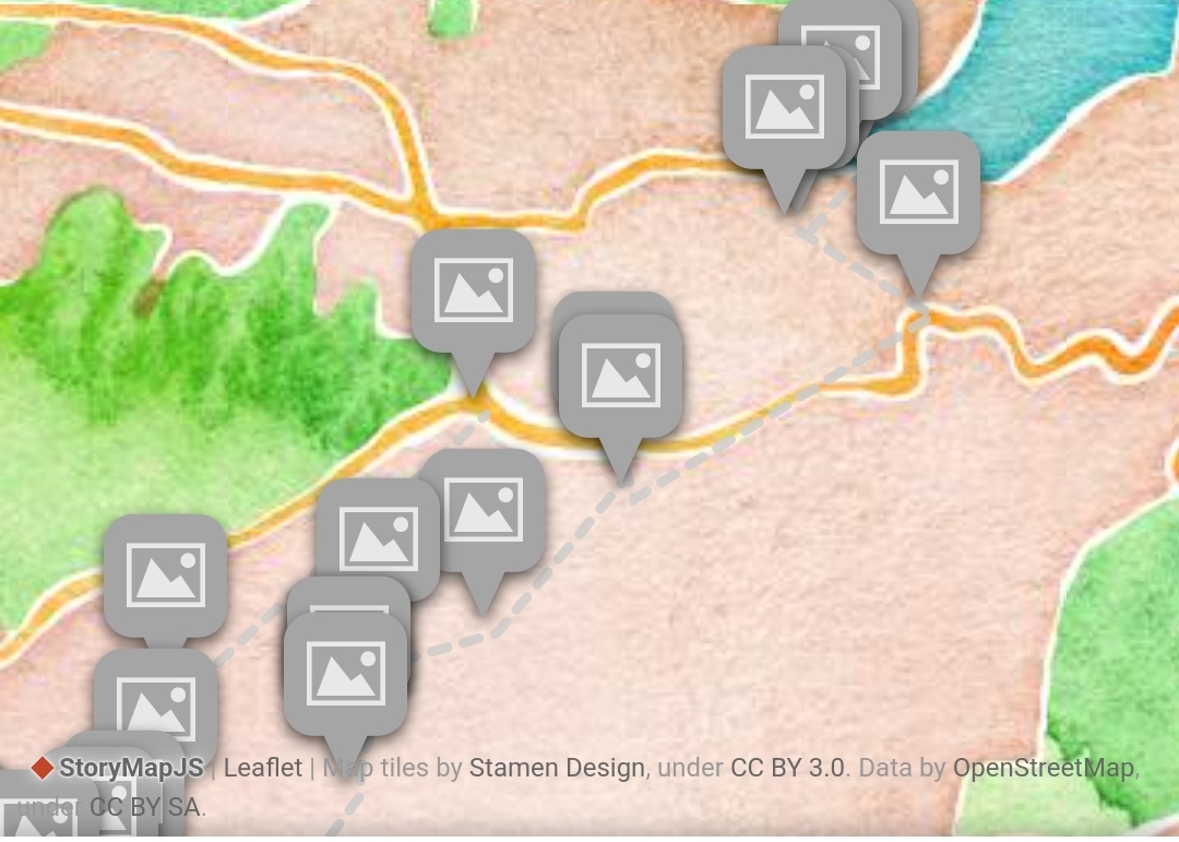
Using the ‘Storytelling’ method based on a digital mapping platform, the pupils created a short, concise presentation of our locality, following the Nordic Walking route between Jelsa and Pitve. The map of the route, illustrated with photographs, is an excellent way of getting to know more about Jelsa and Hvar Island – however, the descriptions are only in Croatian at present.
The route starts from the centre of Jelsa, passing through the Cross-Bearers’ Square in front of the main church, to join the macadam path leading through the pine woods up to the Vratnik area above the village of Pitve. The walk continues to the Pitve parish church of St. James, from which there are splendid views up towards the village of Vrisnik and down over Jelsa, Brač Island, the Makarska Riviera and the Biokovo mountain range and nature park.
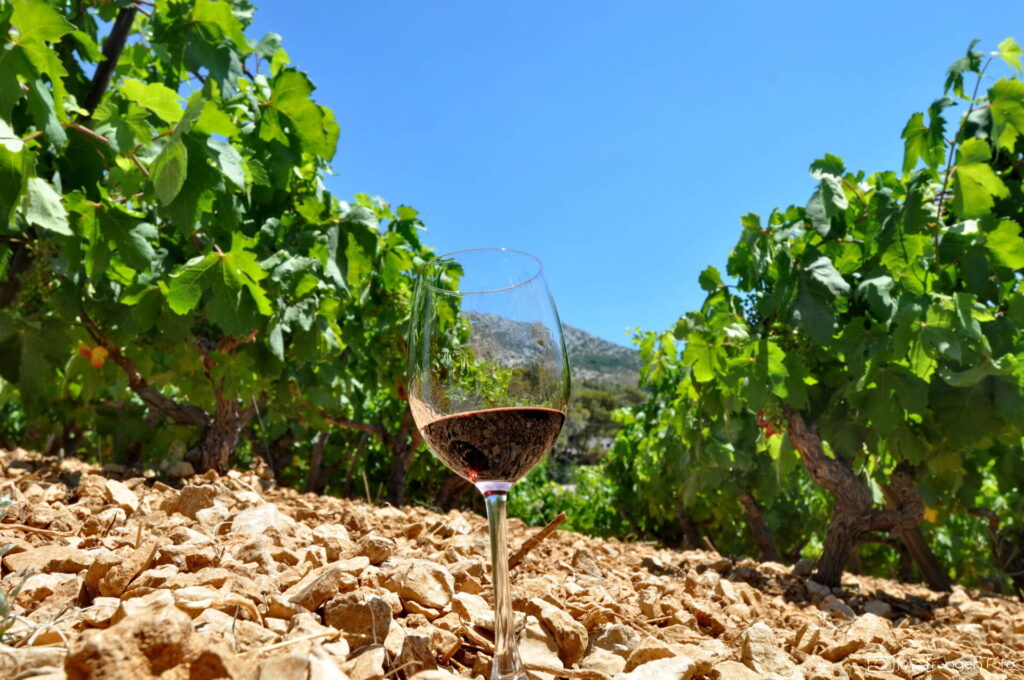
From the church, the old historic path back down towards Jelsa winds through olive groves and vineyards. This was the main connecting route between Pitve and its Jelsan port in times past.
This 8km walk has been confirmed as being of medium difficulty by the Croatian Nordic Walking Alliance (Hrvatski savez za Nordijsko hodanje – website in Croatian). The paths are suitable for all age groups, and the walk takes about two and a half hours.
The Jelsa Tourist Board congratulates the Hvar pupils and their teacher Antonio on their excellent work, and looks forward to further such collaborations in the future.
Link for the application: STORYMAP-NH (Note: The descriptions in the application are in Croatian only.)


